Salt Lake Temple Seismic Retrofit
Salt Lake Temple Seismic Retrofit
Salt Lake Temple Seismic Retrofit
Salt Lake Temple Seismic Retrofit

Salt Lake City, Utah
Salt Lake City, Utah
Salt Lake City, Utah
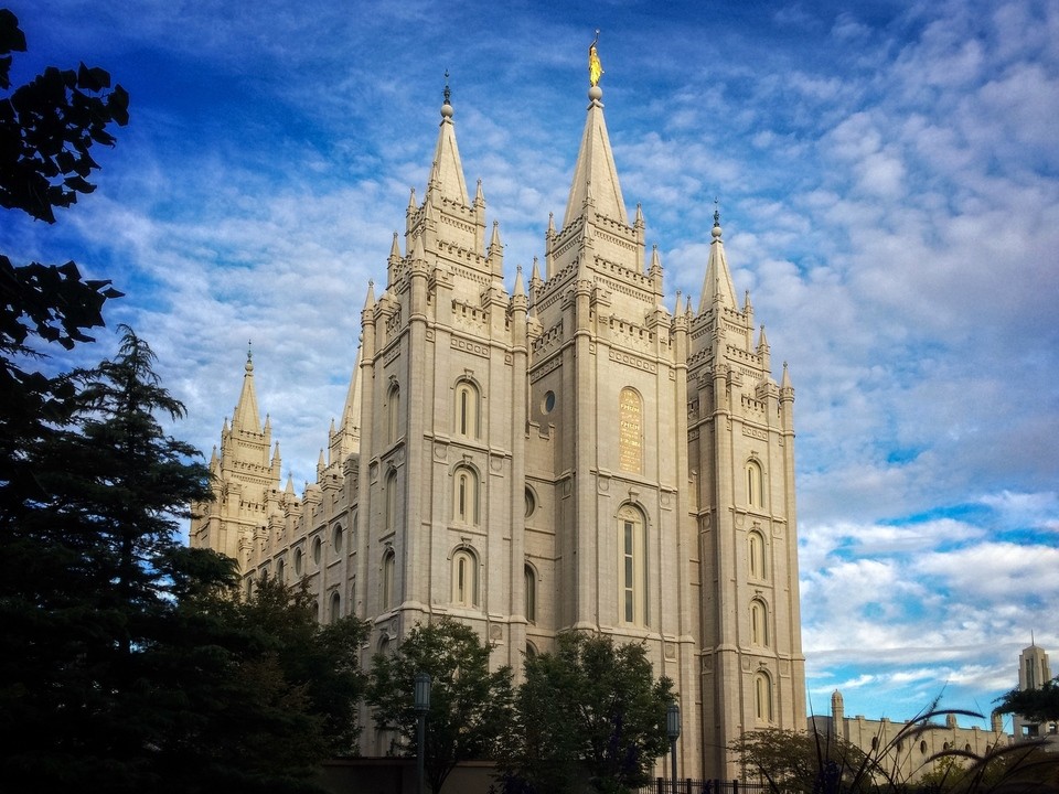
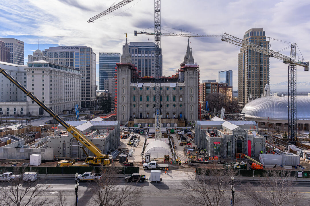
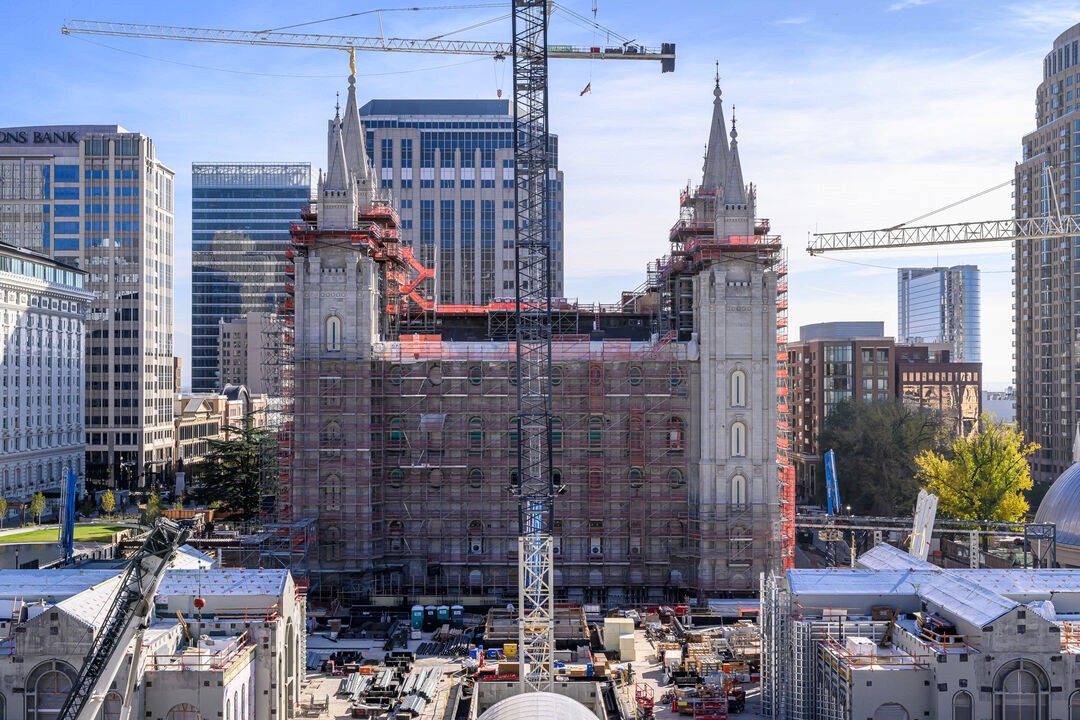
The Salt Lake Temple seismic retrofit required excavation, underpinning, and replacement of the temple’s foundation with a new base-isolation system beneath a 185-million-pound, pre-code unreinforced masonry landmark. The work took place in a constrained downtown setting, above an active fault, while adjacent facilities remained occupied—creating unusually high consequences for even subtle structural or ground movement.
Measure conceived, designed, and operated a six-year geotechnical and structural monitoring program to give the owner, designers, architect, and contractor a continuous view of how the temple, surrounding soils, and adjacent facilities responded to construction. The program remained active through the 2020 Magna magnitude 5.7 earthquake as construction was underway
The Salt Lake Temple seismic retrofit required excavation, underpinning, and replacement of the temple’s foundation with a new base-isolation system beneath a 185-million-pound, pre-code unreinforced masonry landmark. The work took place in a constrained downtown setting, above an active fault, while adjacent facilities remained occupied—creating unusually high consequences for even subtle structural or ground movement.
Measure conceived, designed, and operated a six-year geotechnical and structural monitoring program to give the owner, designers, architect, and contractor a continuous view of how the temple, surrounding soils, and adjacent facilities responded to construction. The program remained active through the 2020 Magna magnitude 5.7 earthquake as construction was underway
The Salt Lake Temple seismic retrofit required excavation, underpinning, and replacement of the temple’s foundation with a new base-isolation system beneath a 185-million-pound, pre-code unreinforced masonry landmark. The work took place in a constrained downtown setting, above an active fault, while adjacent facilities remained occupied—creating unusually high consequences for even subtle structural or ground movement.
Measure conceived, designed, and operated a six-year geotechnical and structural monitoring program to give the owner, designers, architect, and contractor a continuous view of how the temple, surrounding soils, and adjacent facilities responded to construction. The program remained active through the 2020 Magna magnitude 5.7 earthquake as construction was underway
The Salt Lake Temple seismic retrofit required excavation, underpinning, and replacement of the temple’s foundation with a new base-isolation system beneath a 185-million-pound, pre-code unreinforced masonry landmark. The work took place in a constrained downtown setting, above an active fault, while adjacent facilities remained occupied—creating unusually high consequences for even subtle structural or ground movement.
Measure conceived, designed, and operated a six-year geotechnical and structural monitoring program to give the owner, designers, architect, and contractor a continuous view of how the temple, surrounding soils, and adjacent facilities responded to construction. The program remained active through the 2020 Magna magnitude 5.7 earthquake as construction was underway

Monitoring Approach and System Deployment
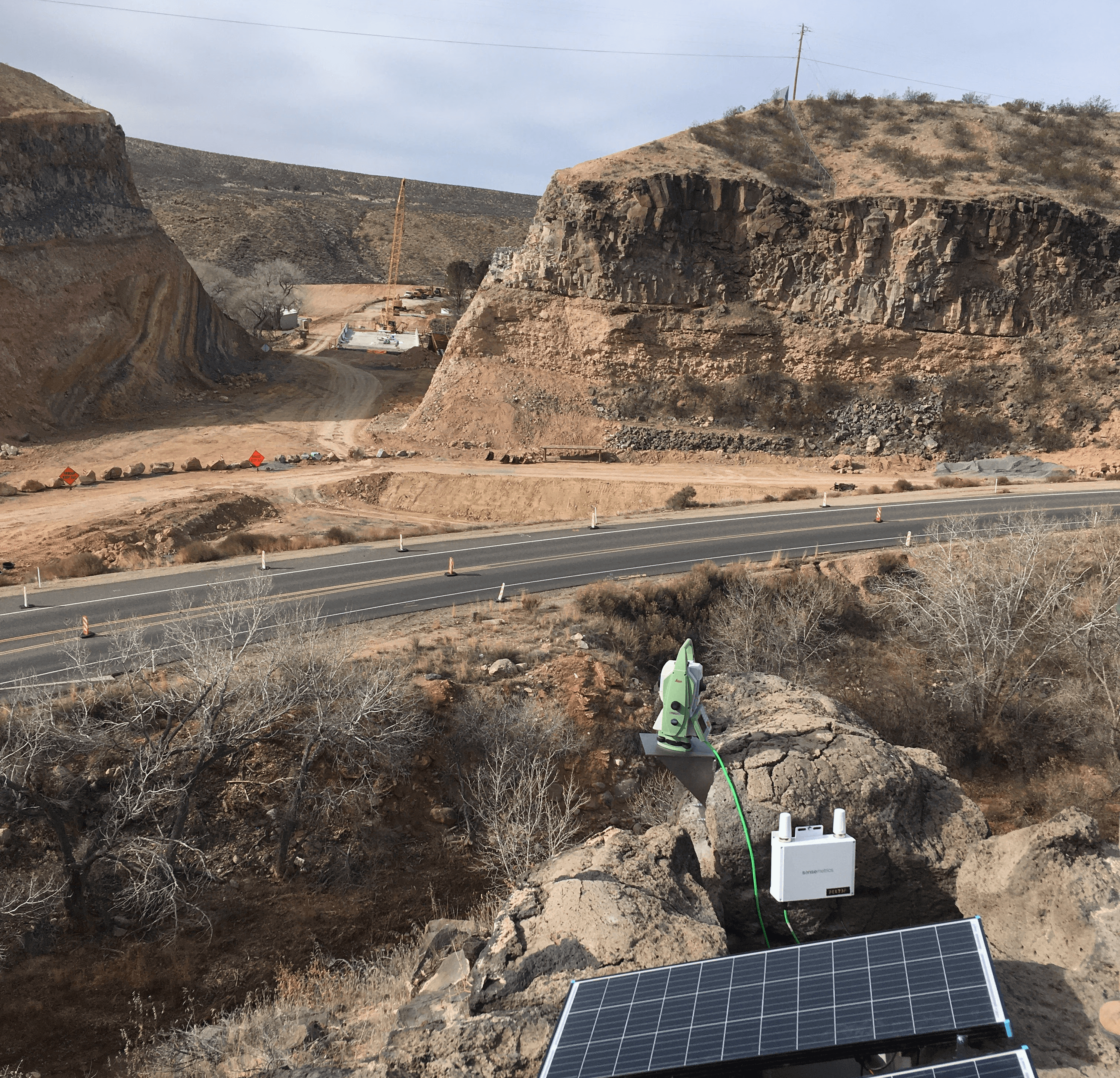
To support slope stabilization efforts at Regent's Slide, Measure installed multiple ShapeAccelArray systems at key locations across the active slide area to continuously track subsurface deformation and help define the active failure zone. These arrays were selected because they could provide near real-time movement profiles through the depth of the slope, allowing engineers to identify where displacement was occurring and where stable material began below the slide mass.
Each ShapeArray was connected to Campbell Scientific datalogger equipment, which collected and stored movement data locally. Because the project site had no reliable cellular coverage and was located in a remote coastal corridor, radio communication was used to transmit data from each instrument location back to a central datalogger. From that central point, the system used Starlink satellite internet to push data to a remote visualization platform, allowing authorized engineers and project managers to review slope movement from anywhere in the world with internet access.
This remote communication architecture was critical because it allowed decision-makers to monitor slope behavior continuously without depending on physical site visits, which were difficult due to location, terrain, and changing site conditions. Instead of waiting for field crews to manually retrieve readings, movement trends could be reviewed immediately as excavation progressed, helping determine when work could safely continue and when additional caution was needed.
In addition to the subsurface instrumentation, surface movement on the project was also tracked using a robotic total station operated by another contractor. However, that system was not configured for automated remote monitoring, so engineers were required to visit the site approximately twice per week to collect measurements manually. While those readings provided valuable surface displacement information, the continuous remote Shape Array system supplied a understanding of changing slope conditions between field visits. This is another example of how different measurement systems have different strengths and weaknesses and the correlation creates a strong overlapping picture.
Monitoring Approach and System Deployment
To support slope stabilization efforts at Regent's Slide, Measure installed multiple ShapeAccelArray systems at key locations across the active slide area to continuously track subsurface deformation and help define the active failure zone. These arrays were selected because they could provide near real-time movement profiles through the depth of the slope, allowing engineers to identify where displacement was occurring and where stable material began below the slide mass.
Each ShapeArray was connected to Campbell Scientific datalogger equipment, which collected and stored movement data locally. Because the project site had no reliable cellular coverage and was located in a remote coastal corridor, radio communication was used to transmit data from each instrument location back to a central datalogger. From that central point, the system used Starlink satellite internet to push data to a remote visualization platform, allowing authorized engineers and project managers to review slope movement from anywhere in the world with internet access.
This remote communication architecture was critical because it allowed decision-makers to monitor slope behavior continuously without depending on physical site visits, which were difficult due to location, terrain, and changing site conditions. Instead of waiting for field crews to manually retrieve readings, movement trends could be reviewed immediately as excavation progressed, helping determine when work could safely continue and when additional caution was needed.
In addition to the subsurface instrumentation, surface movement on the project was also tracked using a robotic total station operated by another contractor. However, that system was not configured for automated remote monitoring, so engineers were required to visit the site approximately twice per week to collect measurements manually. While those readings provided valuable surface displacement information, the continuous remote Shape Array system supplied a understanding of changing slope conditions between field visits. This is another example of how different measurement systems have different strengths and weaknesses and the correlation creates a strong overlapping picture.
Other Interesting Projects
Torqueville
Salt Lake Temple Renovation
Monitoring Approach and System Deployment
The monitoring program combined structural, geotechnical, and environmental measurements in a single real-time data platform. Robotic total stations tracked survey prisms at critical locations on the temple, providing high-precision measurements of movement as excavation, underpinning, parapet removal, load-transfer work, and base-isolator installation progressed. Tiltmeters monitored rotation in the tower complexes, while crackmeters measured deflection in real time.
The deployed system also incorporated vibrating-wire instrumentation and other geotechnical sensors to track the response of the historic masonry, surrounding soils, and foundation work. At peak construction, the program operated up to 3,000 sensors. This scale enabled the team to observe both local effects—such as changes near temporary support or excavation activity—and the broader response of the structure and site.
Site-characterization monitoring added perimeter seismometers with triaxial geophones and microphones to establish baseline vibration and sound levels from normal roadway and construction-adjacent activity. Weather sensing provided temperature, wind, and precipitation data, helping the team interpret whether measured movement reflected environmental conditions or construction-related behavior.
All instrumentation was connected to a secure, cloud-based data platform. Authorized project participants could view data in real time through a web browser, receive text or email notifications when measurements exceeded established thresholds, and access tabular data for engineering analysis and model validation.
The monitoring program combined structural, geotechnical, and environmental measurements in a single real-time data platform. Robotic total stations tracked survey prisms at critical locations on the temple, providing high-precision measurements of movement as excavation, underpinning, parapet removal, load-transfer work, and base-isolator installation progressed. Tiltmeters monitored rotation in the tower complexes, while crackmeters measured deflection in real time.
The deployed system also incorporated vibrating-wire instrumentation and other geotechnical sensors to track the response of the historic masonry, surrounding soils, and foundation work. At peak construction, the program operated up to 3,000 sensors. This scale enabled the team to observe both local effects—such as changes near temporary support or excavation activity—and the broader response of the structure and site.
Site-characterization monitoring added perimeter seismometers with triaxial geophones and microphones to establish baseline vibration and sound levels from normal roadway and construction-adjacent activity. Weather sensing provided temperature, wind, and precipitation data, helping the team interpret whether measured movement reflected environmental conditions or construction-related behavior.
All instrumentation was connected to a secure, cloud-based data platform. Authorized project participants could view data in real time through a web browser, receive text or email notifications when measurements exceeded established thresholds, and access tabular data for engineering analysis and model validation.
Project Value
The program turned a high-risk construction environment into a measurable, manageable process. Instead of relying on analytical predictions alone, the project team used observed structural and geotechnical data to validate modeling assumptions, refine construction sequencing, and adjust temporary support measures based on the temple’s actual response.
Real-time monitoring enabled the team to investigate small, unexpected trends before conditions escalated. That capability supported decisions about protecting the temple’s historic stone fabric and finishes while allowing the project to proceed through deep excavation, underpinning, and installation of 98 base isolators.
Just as importantly, the monitoring system created a documented basis for long-term stewardship. The methodology demonstrated at the Salt Lake Temple has since been applied to monitor 650 historic structures for a private client on a UNESCO World Heritage Site.

Other Interesting projects
Other Interesting projects
Hanksville Diversion
Salt Lake Temple Renovation