
Hanksville Canal Company Diversion Dam
Hanksville Canal Company Diversion Dam
Hanksville Canal Company Diversion Dam
Hanksville Canal Company Diversion Dam

Hanksville, Utah
Hanksville, Utah
Hanksville, Utah
During stitch-grouting operations at the Hanksville Diversion site, the project team needed real-time insight into potential movement of foundation rock, surrounding ground, and nearby site features. Because grouting can produce localized changes in ground conditions, the monitoring program was designed to establish baseline behavior before work began and provide rapid visibility into any meaningful movement during construction.
Measure developed and operated an integrated monitoring system for Gerber Construction, combining automated survey monitoring, temperature measurement, cloud-based visualization, and stakeholder alerts throughout the anticipated three-month monitoring period.
During stitch-grouting operations at the Hanksville Diversion site, the project team needed real-time insight into potential movement of foundation rock, surrounding ground, and nearby site features. Because grouting can produce localized changes in ground conditions, the monitoring program was designed to establish baseline behavior before work began and provide rapid visibility into any meaningful movement during construction.
Measure developed and operated an integrated monitoring system for Gerber Construction, combining automated survey monitoring, temperature measurement, cloud-based visualization, and stakeholder alerts throughout the anticipated three-month monitoring period.
During stitch-grouting operations at the Hanksville Diversion site, the project team needed real-time insight into potential movement of foundation rock, surrounding ground, and nearby site features. Because grouting can produce localized changes in ground conditions, the monitoring program was designed to establish baseline behavior before work began and provide rapid visibility into any meaningful movement during construction.
Measure developed and operated an integrated monitoring system for Gerber Construction, combining automated survey monitoring, temperature measurement, cloud-based visualization, and stakeholder alerts throughout the anticipated three-month monitoring period.
During stitch-grouting operations at the Hanksville Diversion site, the project team needed real-time insight into potential movement of foundation rock, surrounding ground, and nearby site features. Because grouting can produce localized changes in ground conditions, the monitoring program was designed to establish baseline behavior before work began and provide rapid visibility into any meaningful movement during construction.
Measure developed and operated an integrated monitoring system for Gerber Construction, combining automated survey monitoring, temperature measurement, cloud-based visualization, and stakeholder alerts throughout the anticipated three-month monitoring period.

Monitoring Approach and System Deployment
To support slope stabilization efforts at Regent's Slide, Measure installed multiple ShapeAccelArray systems at key locations across the active slide area to continuously track subsurface deformation and help define the active failure zone. These arrays were selected because they could provide near real-time movement profiles through the depth of the slope, allowing engineers to identify where displacement was occurring and where stable material began below the slide mass.
Each ShapeArray was connected to Campbell Scientific datalogger equipment, which collected and stored movement data locally. Because the project site had no reliable cellular coverage and was located in a remote coastal corridor, radio communication was used to transmit data from each instrument location back to a central datalogger. From that central point, the system used Starlink satellite internet to push data to a remote visualization platform, allowing authorized engineers and project managers to review slope movement from anywhere in the world with internet access.
This remote communication architecture was critical because it allowed decision-makers to monitor slope behavior continuously without depending on physical site visits, which were difficult due to location, terrain, and changing site conditions. Instead of waiting for field crews to manually retrieve readings, movement trends could be reviewed immediately as excavation progressed, helping determine when work could safely continue and when additional caution was needed.
In addition to the subsurface instrumentation, surface movement on the project was also tracked using a robotic total station operated by another contractor. However, that system was not configured for automated remote monitoring, so engineers were required to visit the site approximately twice per week to collect measurements manually. While those readings provided valuable surface displacement information, the continuous remote Shape Array system supplied a understanding of changing slope conditions between field visits. This is another example of how different measurement systems have different strengths and weaknesses and the correlation creates a strong overlapping picture.
Monitoring Approach and System Deployment
To support slope stabilization efforts at Regent's Slide, Measure installed multiple ShapeAccelArray systems at key locations across the active slide area to continuously track subsurface deformation and help define the active failure zone. These arrays were selected because they could provide near real-time movement profiles through the depth of the slope, allowing engineers to identify where displacement was occurring and where stable material began below the slide mass.
Each ShapeArray was connected to Campbell Scientific datalogger equipment, which collected and stored movement data locally. Because the project site had no reliable cellular coverage and was located in a remote coastal corridor, radio communication was used to transmit data from each instrument location back to a central datalogger. From that central point, the system used Starlink satellite internet to push data to a remote visualization platform, allowing authorized engineers and project managers to review slope movement from anywhere in the world with internet access.
This remote communication architecture was critical because it allowed decision-makers to monitor slope behavior continuously without depending on physical site visits, which were difficult due to location, terrain, and changing site conditions. Instead of waiting for field crews to manually retrieve readings, movement trends could be reviewed immediately as excavation progressed, helping determine when work could safely continue and when additional caution was needed.
In addition to the subsurface instrumentation, surface movement on the project was also tracked using a robotic total station operated by another contractor. However, that system was not configured for automated remote monitoring, so engineers were required to visit the site approximately twice per week to collect measurements manually. While those readings provided valuable surface displacement information, the continuous remote Shape Array system supplied a understanding of changing slope conditions between field visits. This is another example of how different measurement systems have different strengths and weaknesses and the correlation creates a strong overlapping picture.
Other Interesting Projects
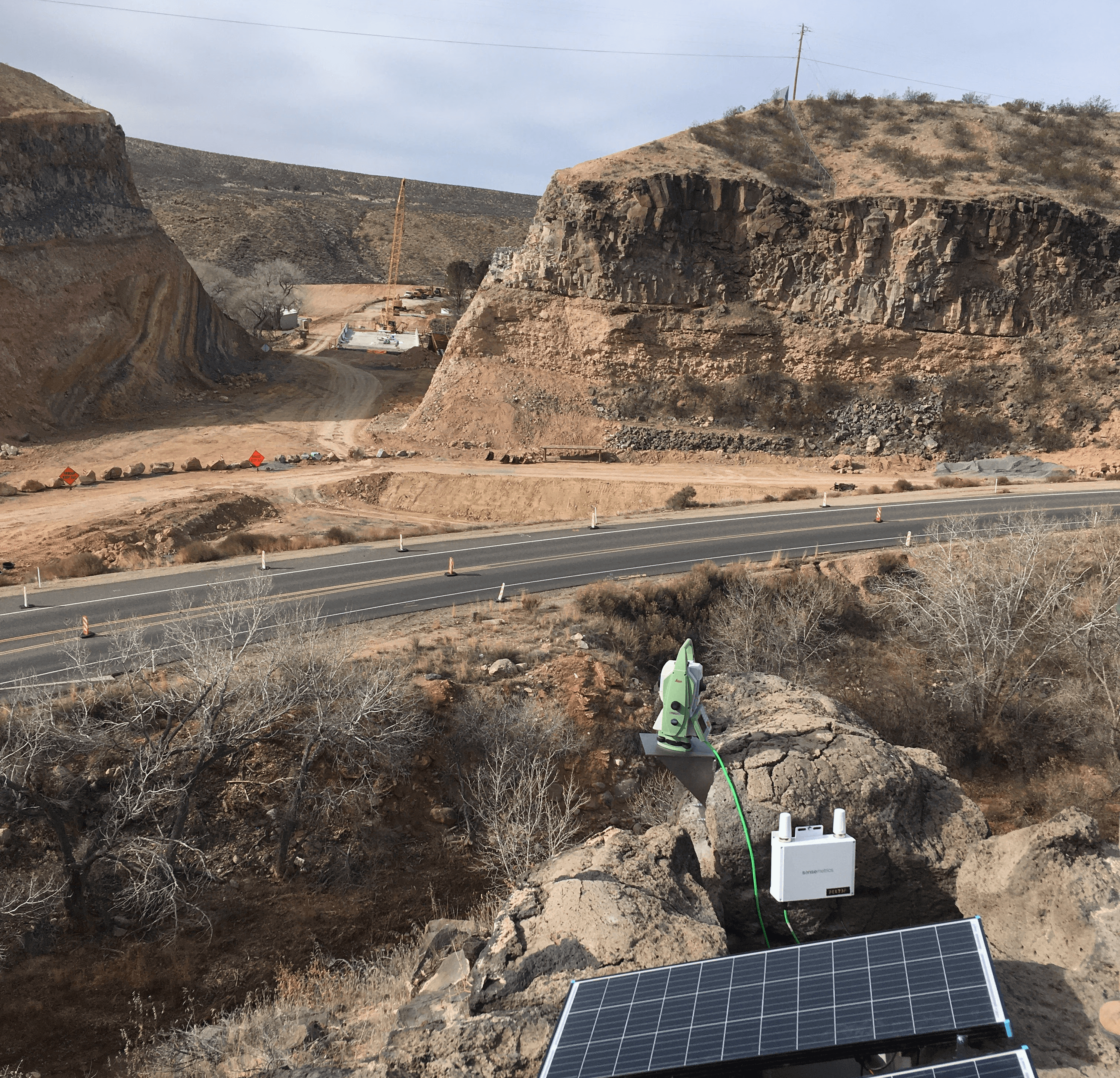
Torqueville
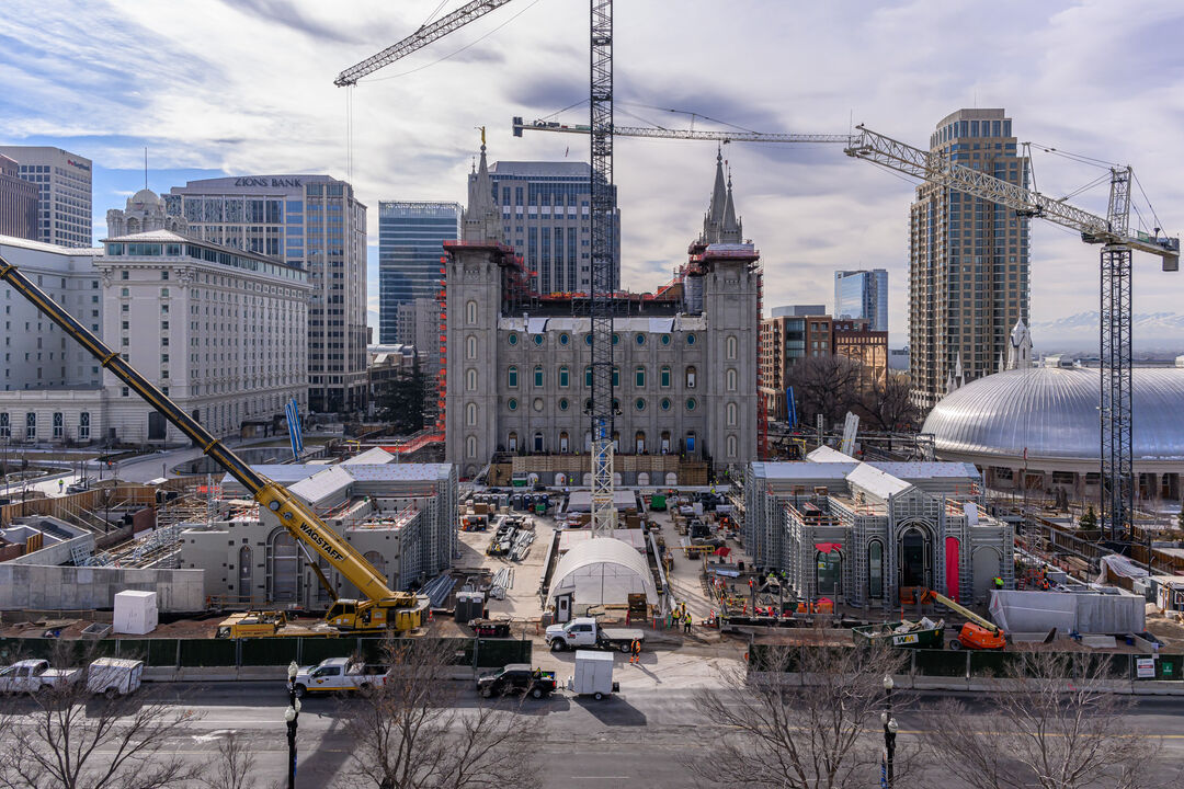
Salt Lake Temple Renovation
Monitoring Approach and System Deployment
Measure deployed a solar-powered automated motorized total station (AMTS) with three control prisms and 14 monitoring prisms. The prisms were arranged to track movement around the grouting area, assess conditions on both sides of the fault, and identify generalized uplift or subsidence around the injection points. Locations were also selected to reduce the likelihood of disturbance from site traffic.
The AMTS collected measurements on 15-minute cycles from 6 a.m. to 6 p.m. and every three hours overnight during baseline monitoring, with collection frequency adjustable as the project progressed. An independent datalogger and ambient-temperature sensor captured thermal conditions, allowing the team to differentiate potential construction-related movement from normal daily expansion and contraction caused by heating and cooling.
Through cellular connectivity, the monitoring data was delivered in real time to a cloud-based visualization platform available at the grouting control station. Measure configured user access, visualization, and text- or email-based alerts; collected at least five days of baseline data before drilling and grouting; reviewed results daily; performed monthly system inspections; and provided weekly PDF reports.
Measure deployed a solar-powered automated motorized total station (AMTS) with three control prisms and 14 monitoring prisms. The prisms were arranged to track movement around the grouting area, assess conditions on both sides of the fault, and identify generalized uplift or subsidence around the injection points. Locations were also selected to reduce the likelihood of disturbance from site traffic.
The AMTS collected measurements on 15-minute cycles from 6 a.m. to 6 p.m. and every three hours overnight during baseline monitoring, with collection frequency adjustable as the project progressed. An independent datalogger and ambient-temperature sensor captured thermal conditions, allowing the team to differentiate potential construction-related movement from normal daily expansion and contraction caused by heating and cooling.
Through cellular connectivity, the monitoring data was delivered in real time to a cloud-based visualization platform available at the grouting control station. Measure configured user access, visualization, and text- or email-based alerts; collected at least five days of baseline data before drilling and grouting; reviewed results daily; performed monthly system inspections; and provided weekly PDF reports.
Project Value
The program gave the construction and grouting teams a continuous, data-driven view of site behavior rather than relying solely on periodic manual checks. Real-time access to prism measurements and automated notifications enabled the team to identify trends promptly and respond if movement approached agreed warning or alarm limits.
By integrating temperature data with movement monitoring, the system added essential context for interpreting the results—helping stakeholders avoid mistaking routine thermal movement for grouting-related displacement. The baseline period, daily review, recurring reports, and direct notification process created a documented record of conditions before and during the work, supporting more informed decisions at the grouting control station.

Other Interesting projects
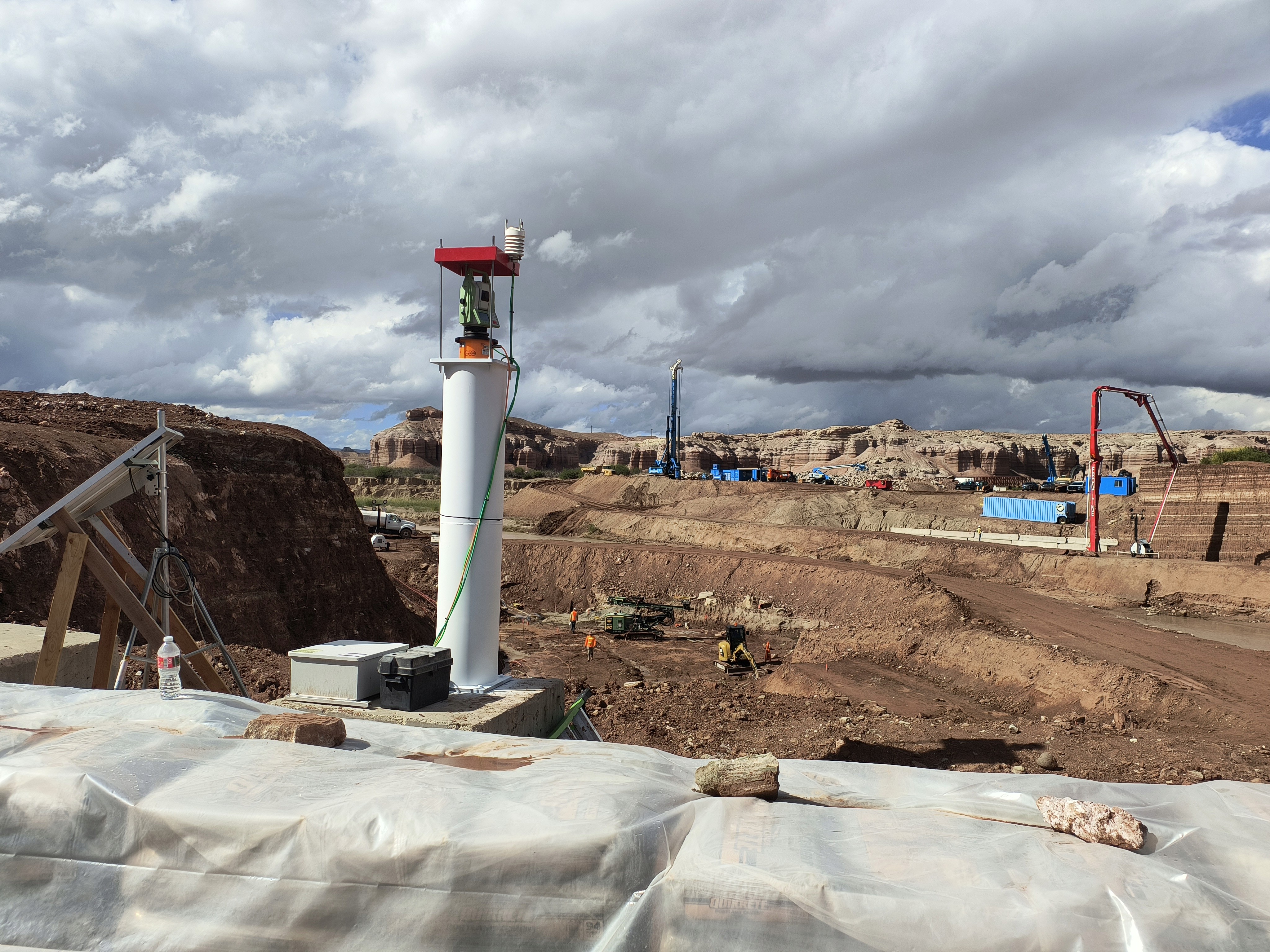
Hanksville Diversion
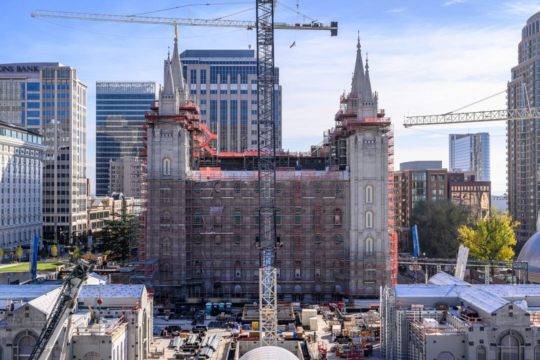
Salt Lake Temple Renovation
Salt Lake Temple Renovation
Other Interesting projects
Hanksville Diversion

Salt Lake Temple Renovation